News
25
Aug
2022
NHAI Organises Workshop on Global Navigation Satellite System Based Tolling
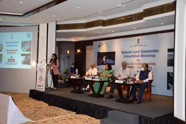
NHAI organised a day-long stakeholder consultation workshop on Global Navigation Satellite System (GNSS) based tolling in India. The workshop's objective was to seek input and suggestions from various industry experts and stakeholders on different aspects of the GNSS-based tolling system. In addition, the workshop will help strategise and design the future roadmap for a free-flow tolling system in India based on GNSS technology.
Various stakeholders, including relevant government departments, ISRO, NIC, and industry players such as Vehicle Manufacturers, AIS-140 On-Board Unit (OBU) manufacturers, Global GNSS service providers, Banks, Payment Aggregators/Gateway Service providers were invited for deliberations on GNSS-based tolling system. Sessions and presentations were held with consultants & industry experts on global best practices for GNSS-based tolling, discussions were held on the findings of the pilot carried out by NHAI on Delhi – Mumbai corridor and various aspects of GNSS architecture, payment settlement process, proposed enforcement measures and discussion on legal framework requirements were also discussed.
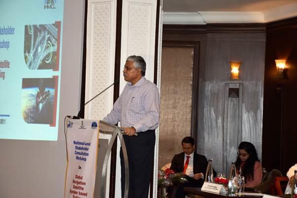
Speaking on occasion, Shri Giridhar Aramane, Secretary, Ministry of Road Transport & Highways, said, "The stakeholder consultation is important to discuss various issues involved in GNSS based tolling deployment and seeking suggestions. We have to ensure that the process of toll collection is seamless. To achieve this objective, we need to have a technology framework that will enable us to operate in an efficient way, is economical and acceptable to various stakeholders."
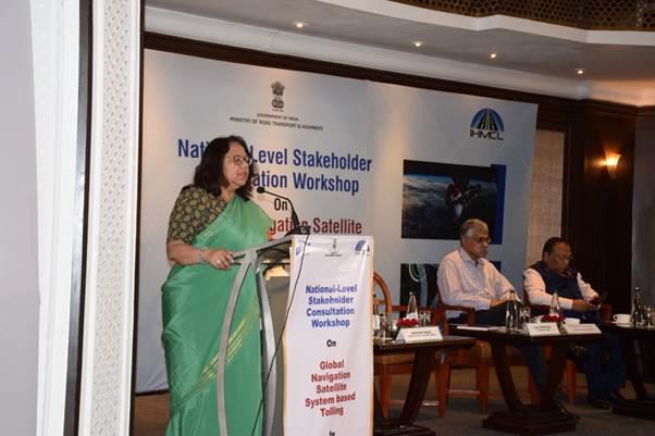
In her address NHAI Chairperson Smt. Alka Upadhyaya said, "We are pleased to organise this session and deliberate with stakeholders on what could be the likely way forward on deployment of GNSS-based tolling in India. This session will help us to get inputs from the experts who have come from other parts of the world and will help us to address various challenges that we may face in planning and rollout of GNSS based tolling across the country."
In her address NHAI Chairperson Smt. Alka Upadhyaya said, "We are pleased to organise this session and deliberate with stakeholders on what could be the likely way forward on deployment of GNSS-based tolling in India. This session will help us to get inputs from the experts who have come from other parts of the world and will help us to address various challenges that we may face in planning and rollout of GNSS based tolling across the country."
In the proposed GNSS technology-based tolling system, the NH stretch will be geo-fenced and consist of virtual tolling points. Whenever a vehicle fitted with GNSS OBU shall pass through these virtual tolling points, information on the distance traveled will be calculated based on satellite signals from multi-constellation such as NaVIC, GPS, etc., and the applicable fee shall be computed by the central GNSS software system and deducted from the users' bank account linked to the OBU.